For the first time, Australians can visualize how their homes, neighborhoods and favorite coastal spots could be vulnerable to rising sea levels driven by climate change with the help of an online tool.
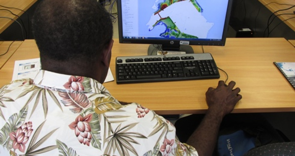
The Coastal Risk Australia website charts the majority of Australia’s enormous coastline and is free to use. It incorporates cutting-edge Google technology and local tidal data to accurately map how rising sea levels could encroach on cities, towns and beaches under three scientifically underpinned climate change scenarios.
The website shows that iconic beaches like the Gold Coast and famous coastal spots such as Cairns in Queensland and Queenscliff in Victoria will be among the vulnerable places to rising sea levels. The tool can help individuals, communities and all levels of government prepare in the decades to come.
More than 80 percent of Australians live near the coast and a Climate Council report has already warned that future sea level rises could put more than $200 billion of infrastructure at risk.
NGIS Australia Principal Consultant Nathan Eaton said it was difficult for people to appreciate what rising sea levels in decades to come could mean for their homes, community and the places they love.
“Maps are a universal language that everyone can understand. This website allows every Australian to visualize our climate change future with pinpoint accuracy, and gain a better understanding of how rising sea levels will affect our coastline, neighborhoods and favorite places.”
NGIS Australia built the website based on an earlier model used to map sea-level rise in the Pacific Islands. This model won a UNFCCC Momentum for Change Award in 2015.
“Our main goal is to raise awareness of how sea-level rise will affect the places we live, but this will also help all Australians prepare for change, from all levels of government, in policy, conservation and community engagement.”
Across the globe, sea levels have risen an average of 17 centimeters over the course of the 20th century. Average sea level rise around Australia has been at a similar level. Scientists are forecasting sea levels will rise between 0.4–1.1 meters over the remainder of this century depending on how rapidly the world reduces emissions of greenhouse gases.
The frequency of coastal flooding trebles with every 10cm of sea-level rise. In both Fremantle and Sydney, flooding events became three times more frequent during the 20th century as a result of sea-level rise.
Visit http://coastalrisk.com.au to learn more.